Mt Cory Scramble
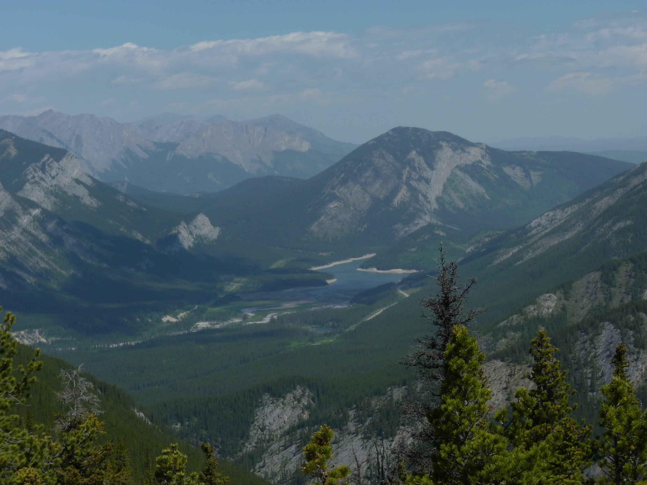
/We started up this peak in Banff Friday Aug 28 - in the smoky skies that persisted all week (fires in Washington state). Not the best air to be inhaling at a frequent rate up a 1400m (4500 feet) steep scramble. The start of it is only more brutal on the way down. You gain the ridge immediately from the valley floor, about 10 km west of the Banff townsite, in Banff National Park. I guess I promised my younger daughter Jill we would climb it sometime, and it was time. Along with Carol, and Aunt Liz, we completed the route in 8 hours. My quads would hurt for 3 days.
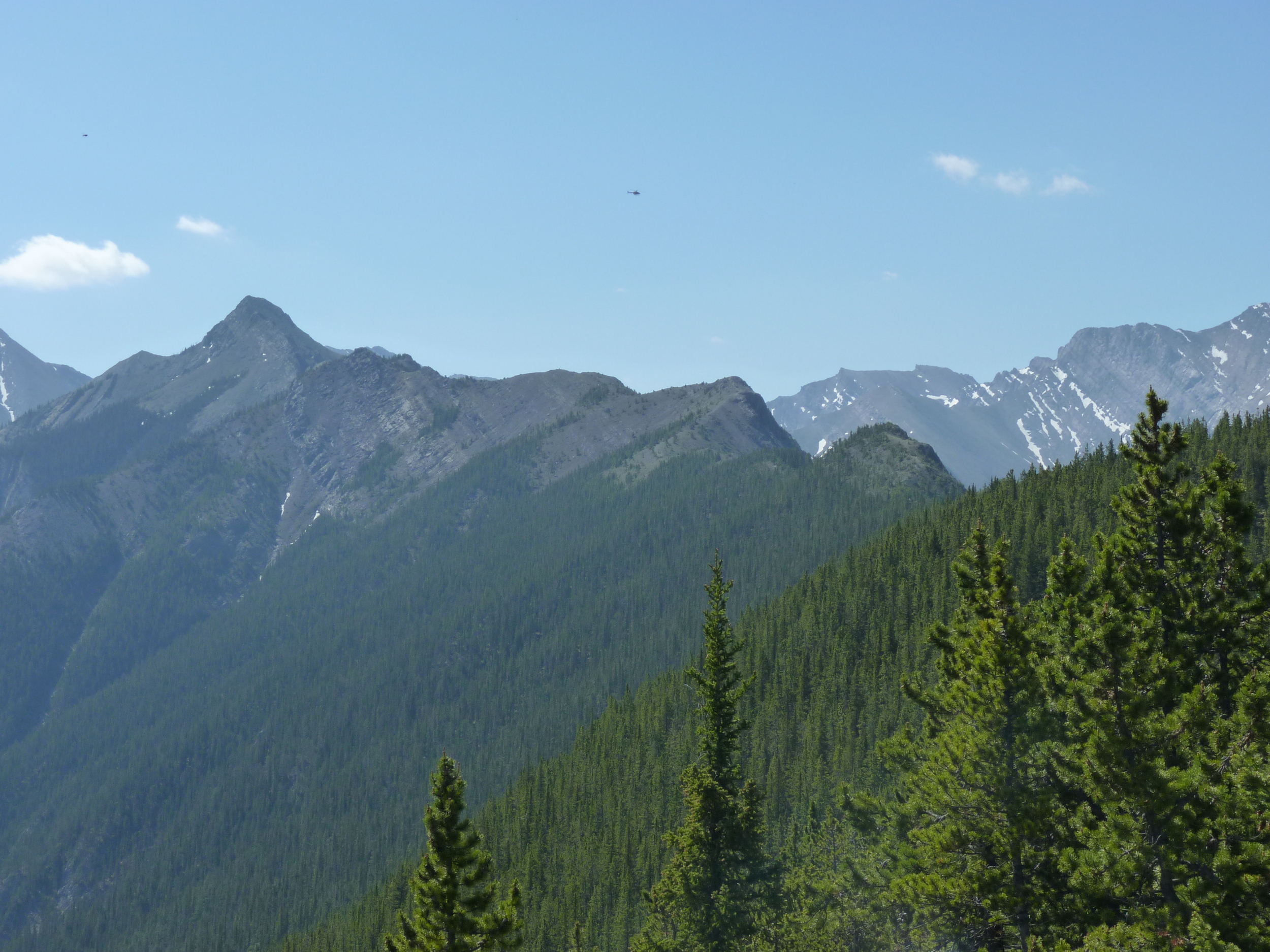
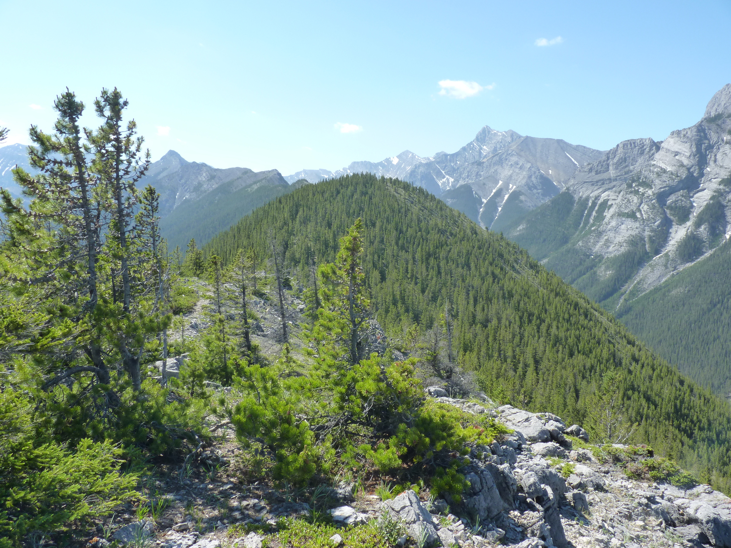
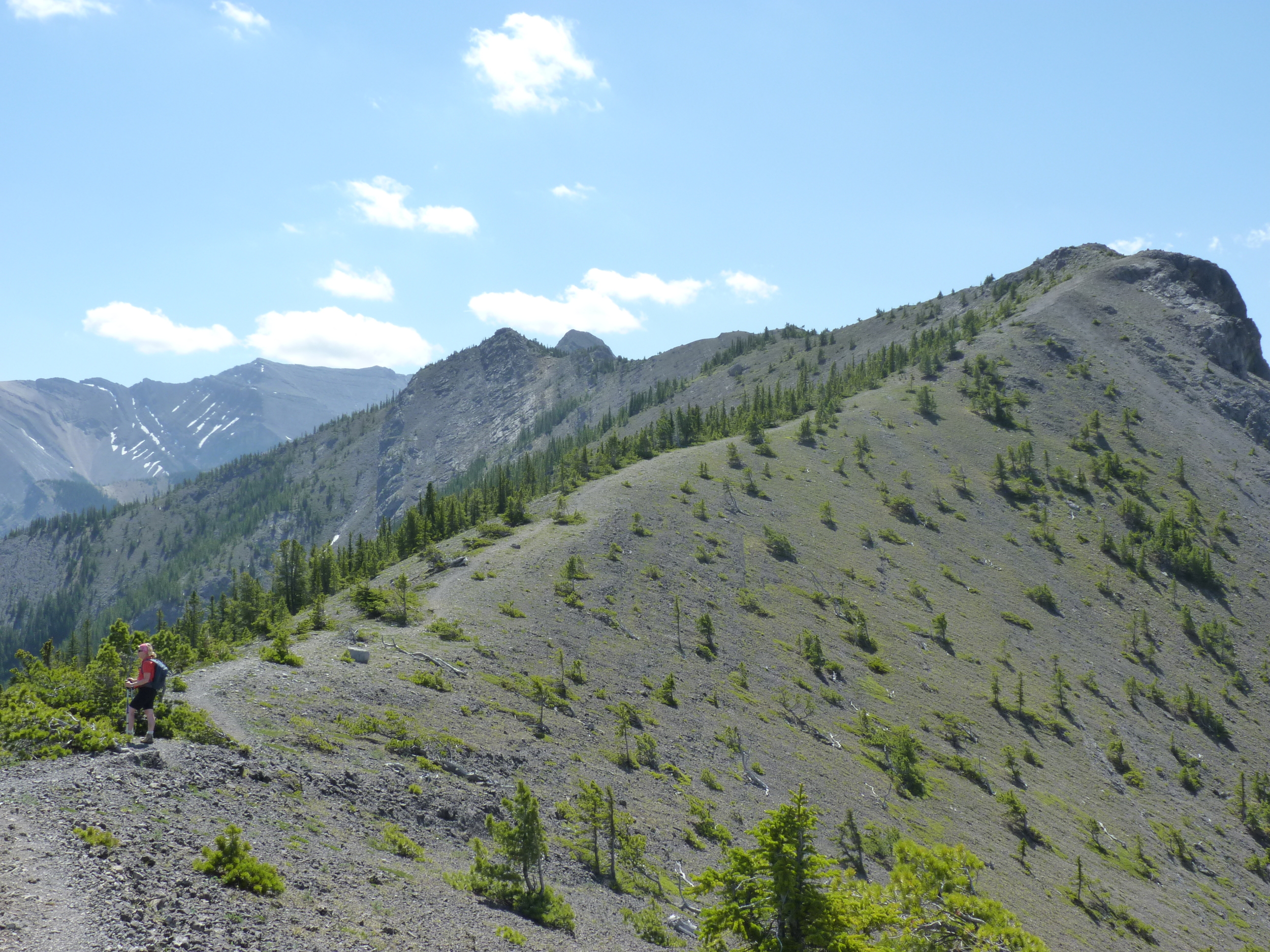
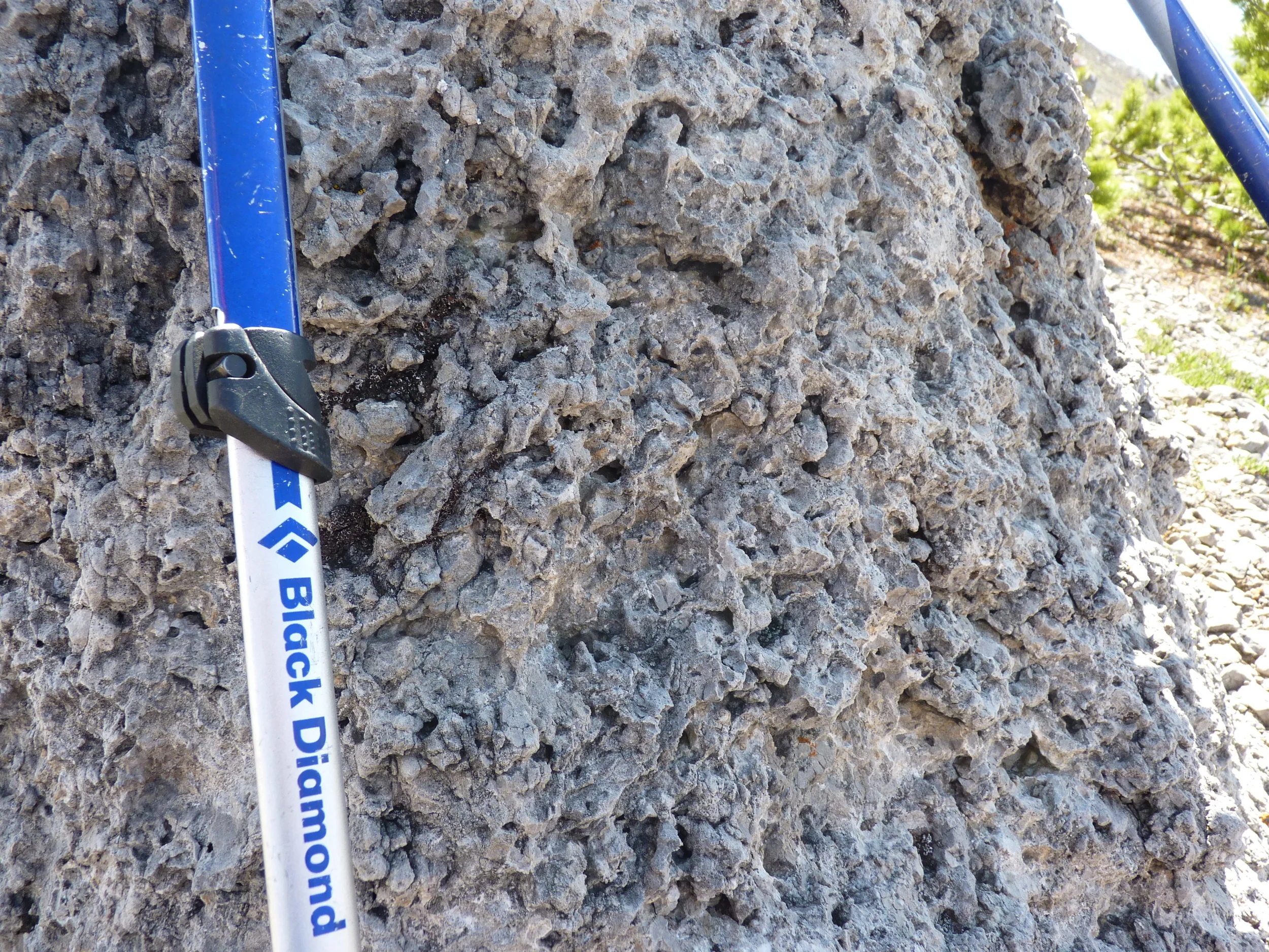
The peak shows in the background, behind several false peaks, along a fantastic ridge that is along vertically thrust formations of shale and limestone. A cool stromatolite bed is shown on the right side of the subpeak in the foreground (Wikipedia). These intertidal formations have been around for over a billion years - still persisting in warm tropical seas today. This being about half way up the ridge, where route finding becomes a little more important. Some of the false peaks you trundle over, some you attempt to skirt around.
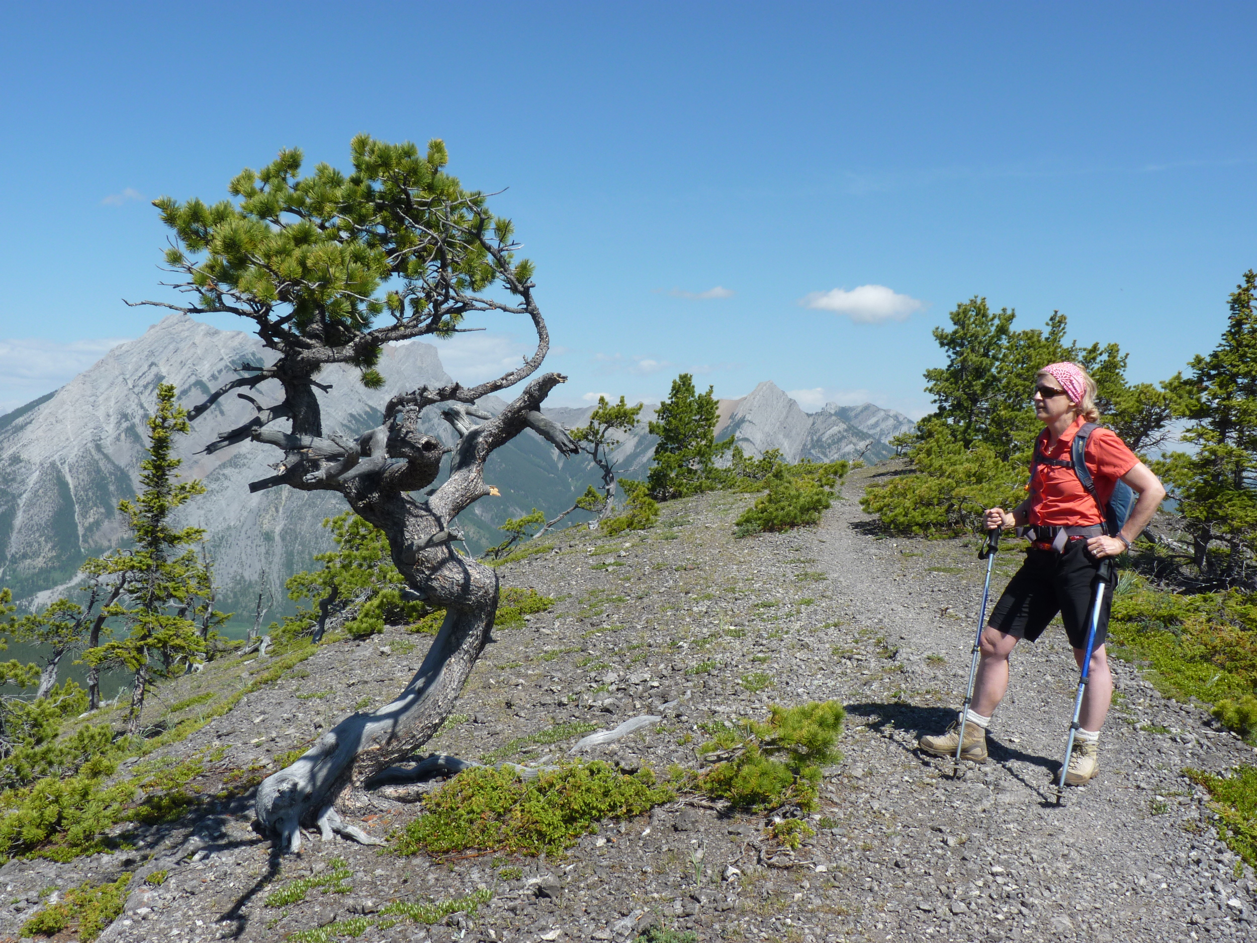
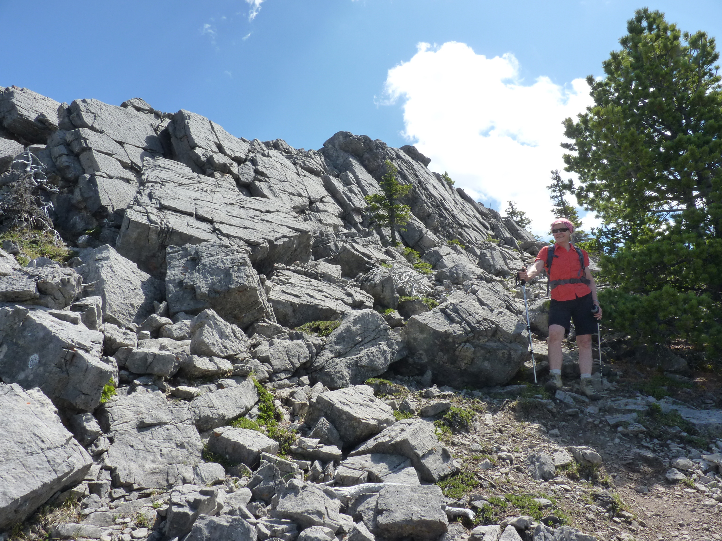
This scramble is rated "easy-moderate", and I rarely sample the moderate types. That said, like Mt Chester, the outcropping limestone is pretty easy to pick your way through and up, and is rather fun. Sometimes my wife didn't think so, but she blundered on - not looking down at times - and joined us at the top.
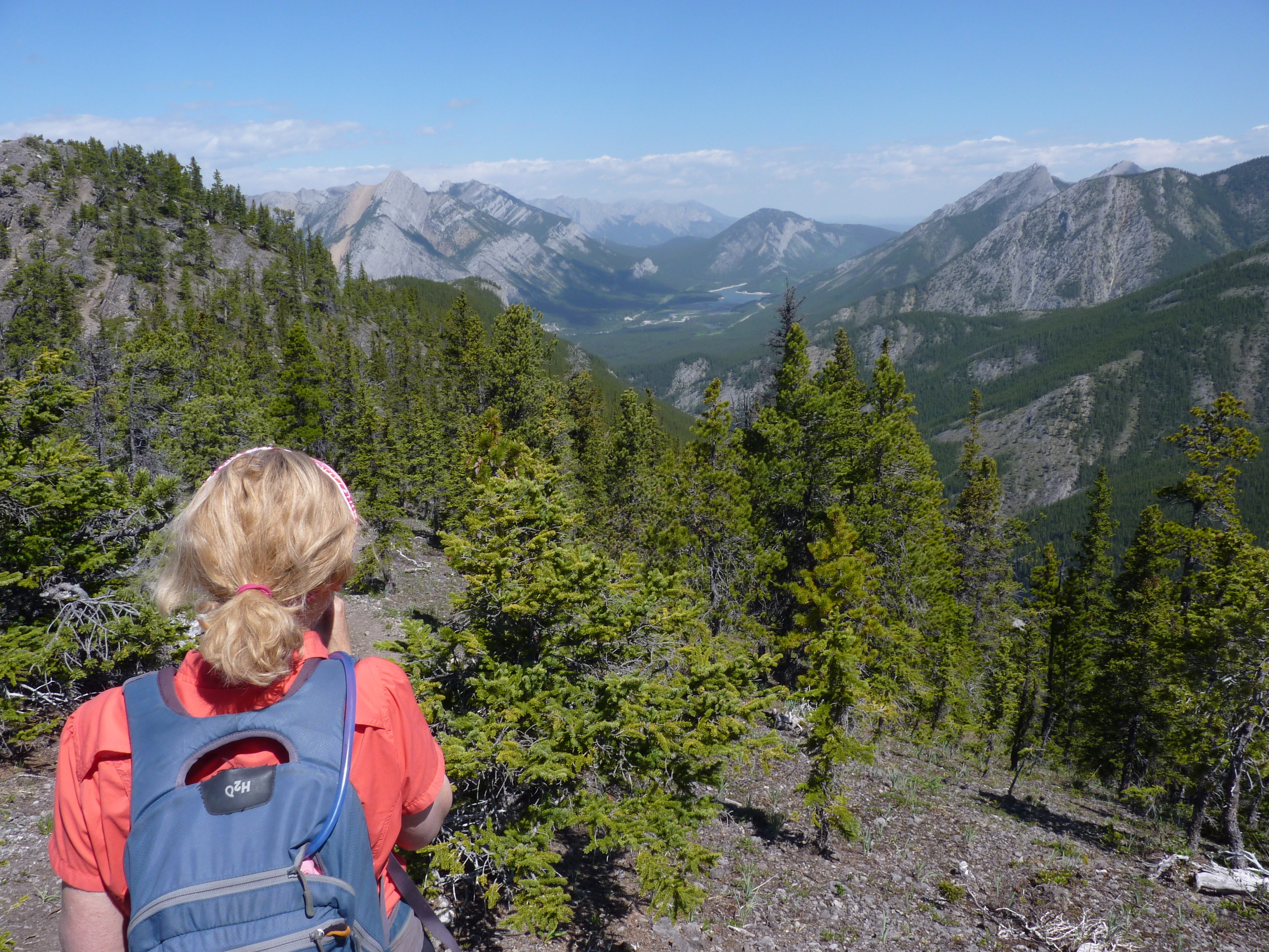
Beyond, smoky air, showers threatened, but really didn't amount to much. But it didn't make any pictures look too brilliant (the last picture in the collection below shows the author standing at the top on a bluebird day in 2009). Did I mention the downclimb was unrelenting?
By the way, on your way eastbound for Banff on the TransCanada highway, this is the mountain with the big cave that you see high up in the beautiful limestone face on your left as you approach the Sunshine ski area turnoff. That face also has a famous climbing crack first climbed by Hans Gmoser (inventor of helicopter skiing holidays).


