Black Prince to Murray Creek: Alpine Touring in KCountry

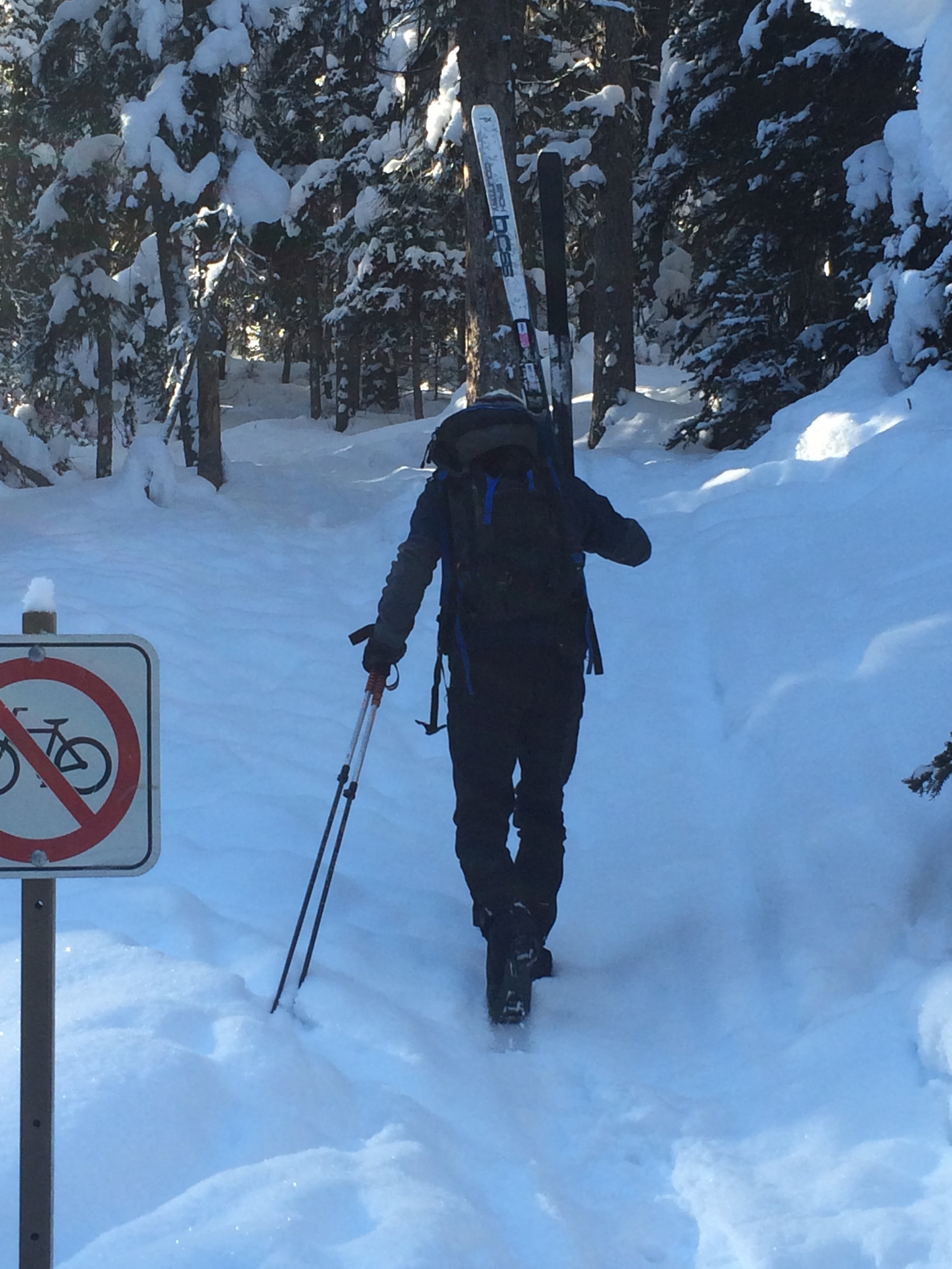
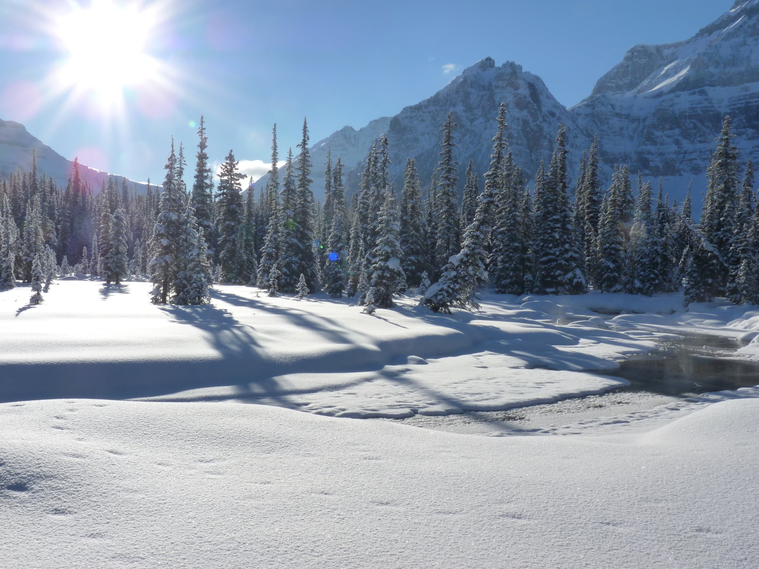
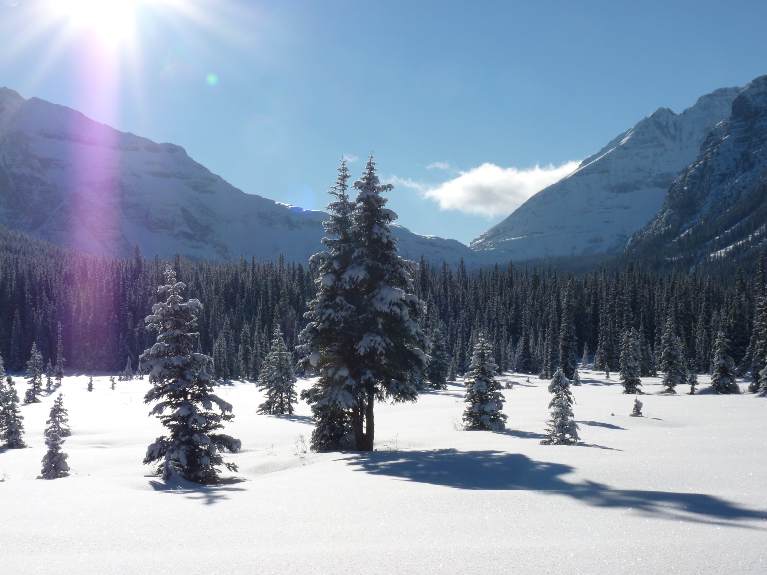
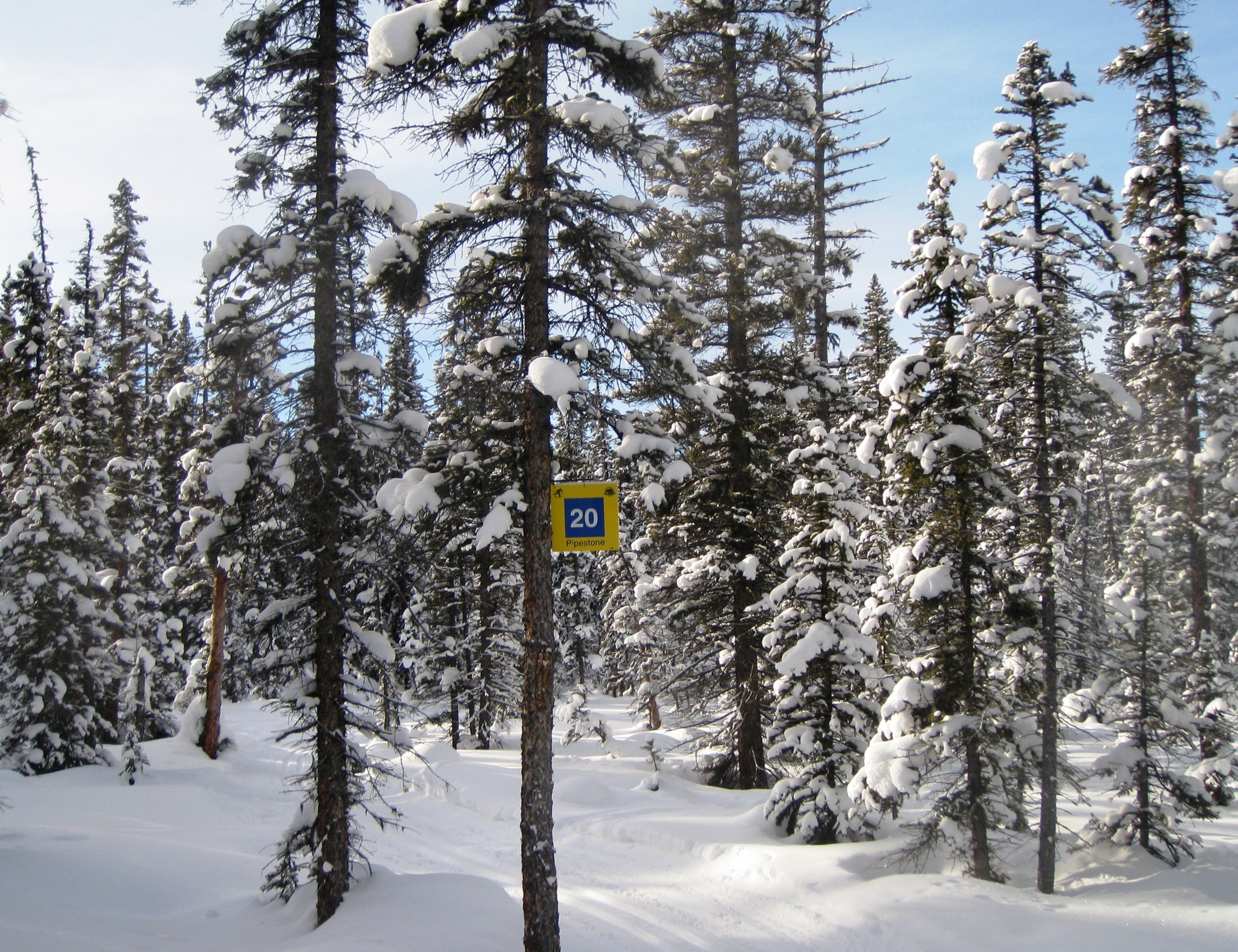
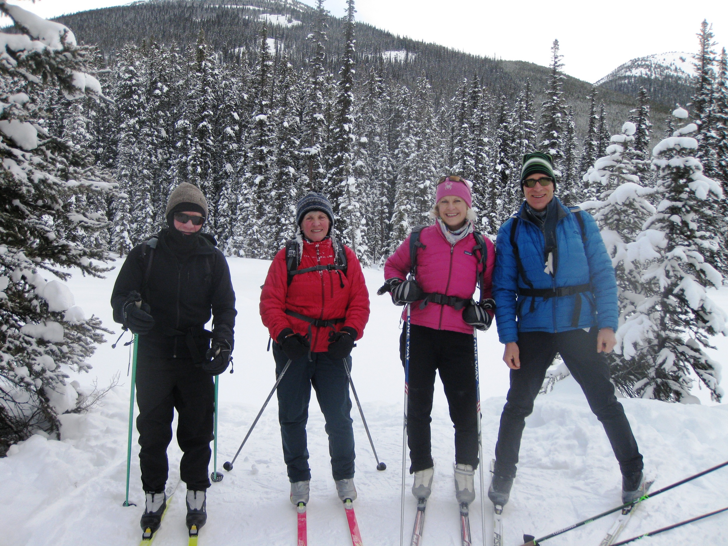
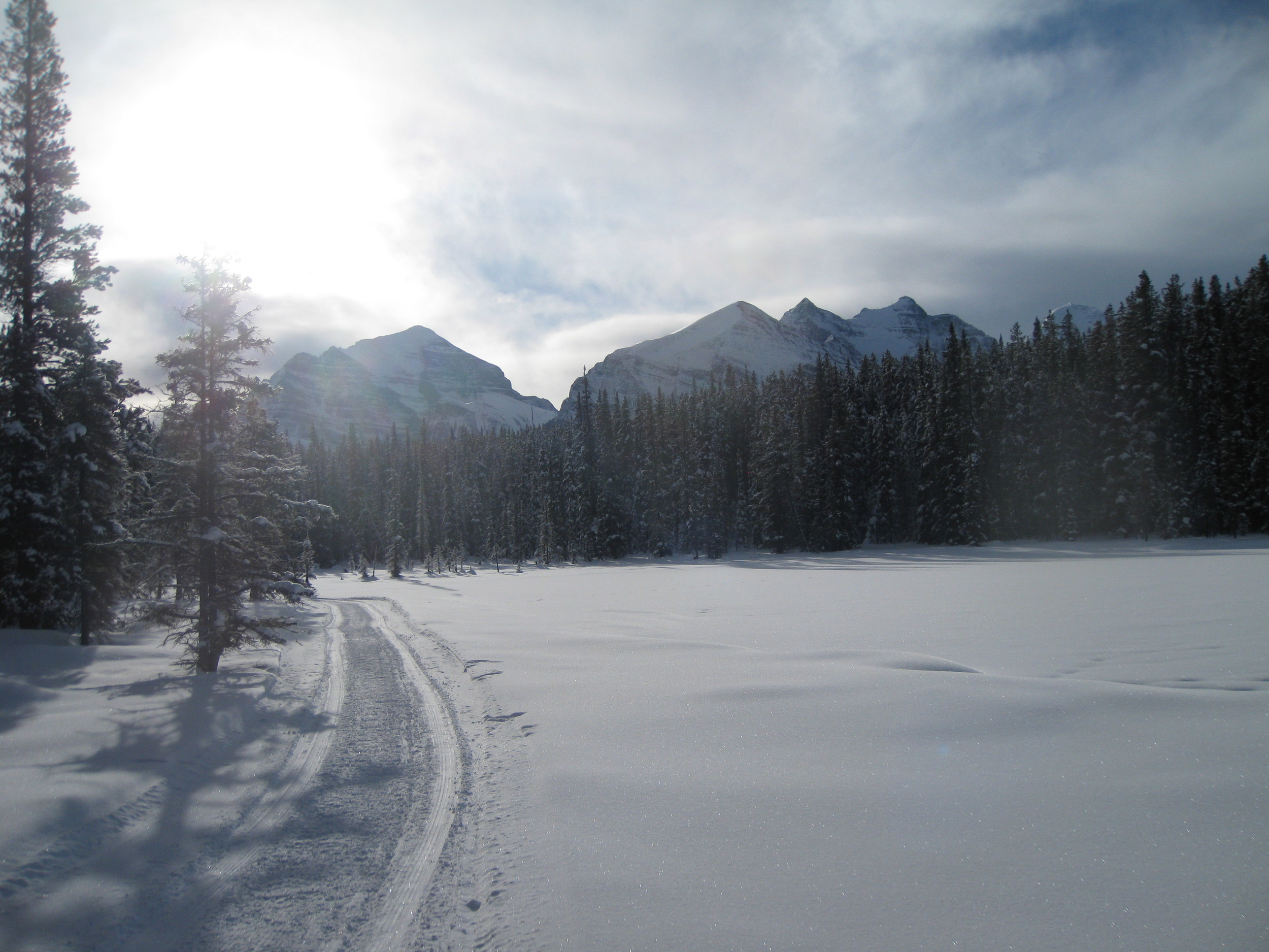
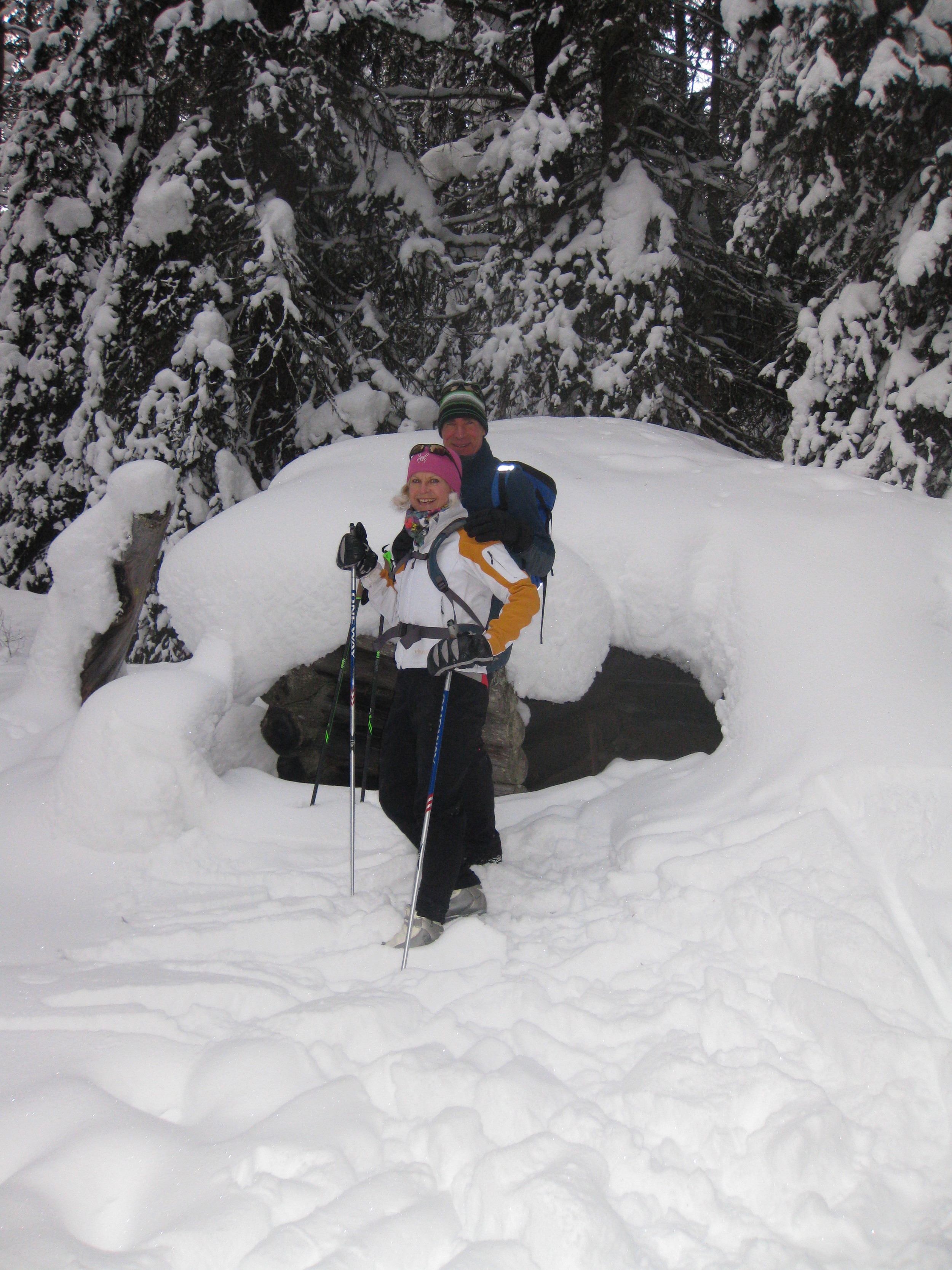
Early January is not the usual time for doing this "complex" route, but the snowpack in the Canadian Rockies this year has been reasonably stable. So eight of us ventured from Black Prince, in Kananaskis Alberta, to try and do an alpine ski traverse over two high cols to Murray Creek, and back out to the Smith Dorrien road, where we left one of the vehicles. The route requires good visibility, and we had a bluebird day, albeit starting out cold (-21C). This route requires about 4000 feet of climbing on skis, and some steep descents.

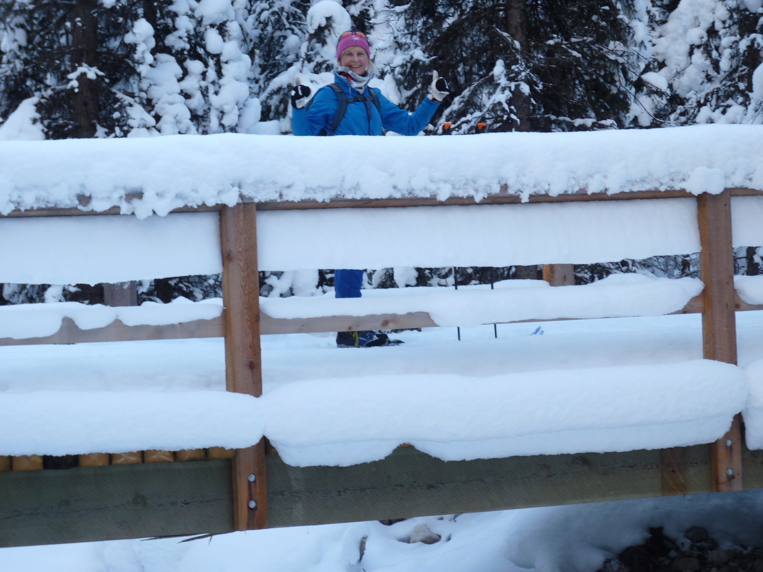
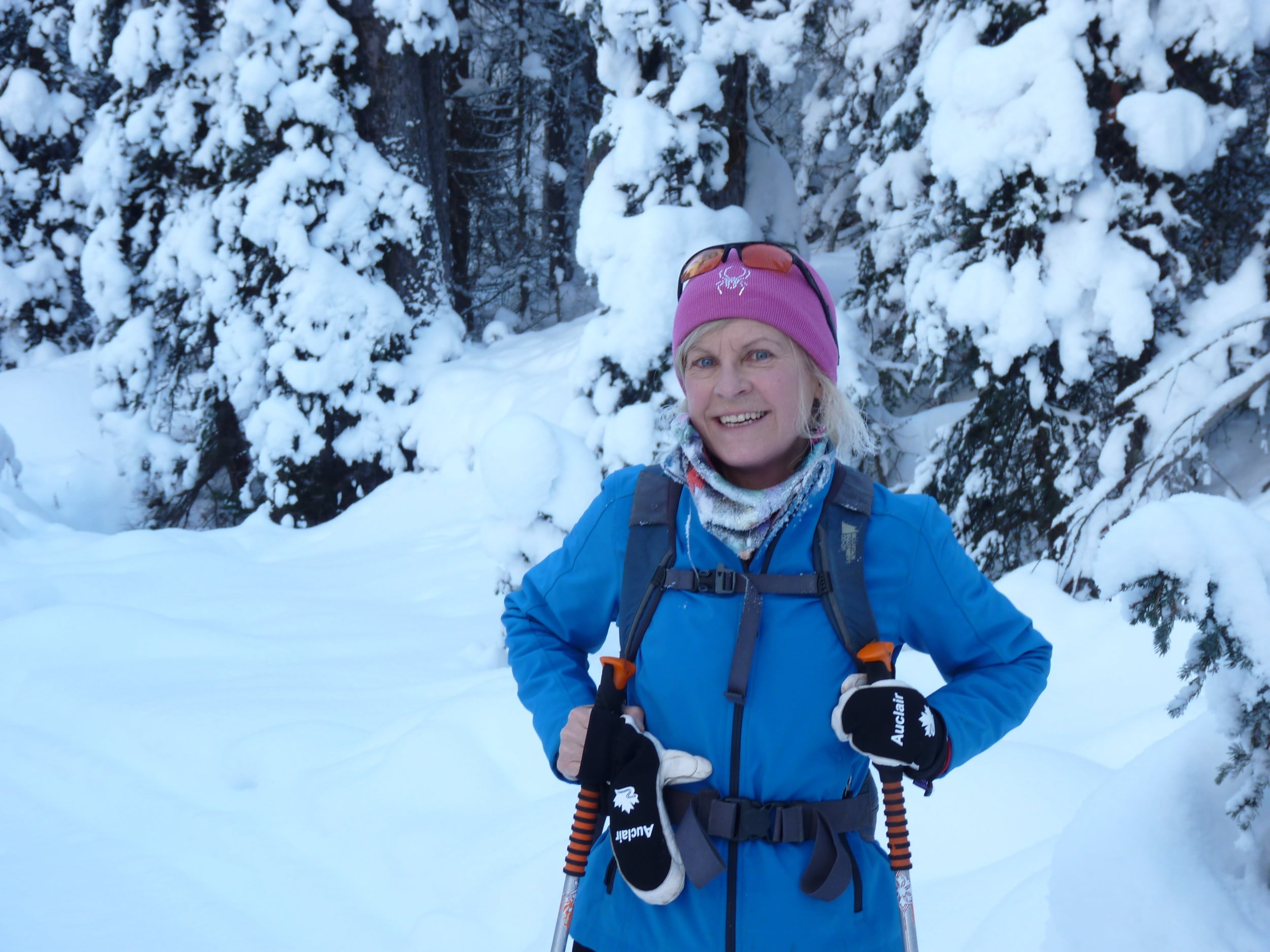
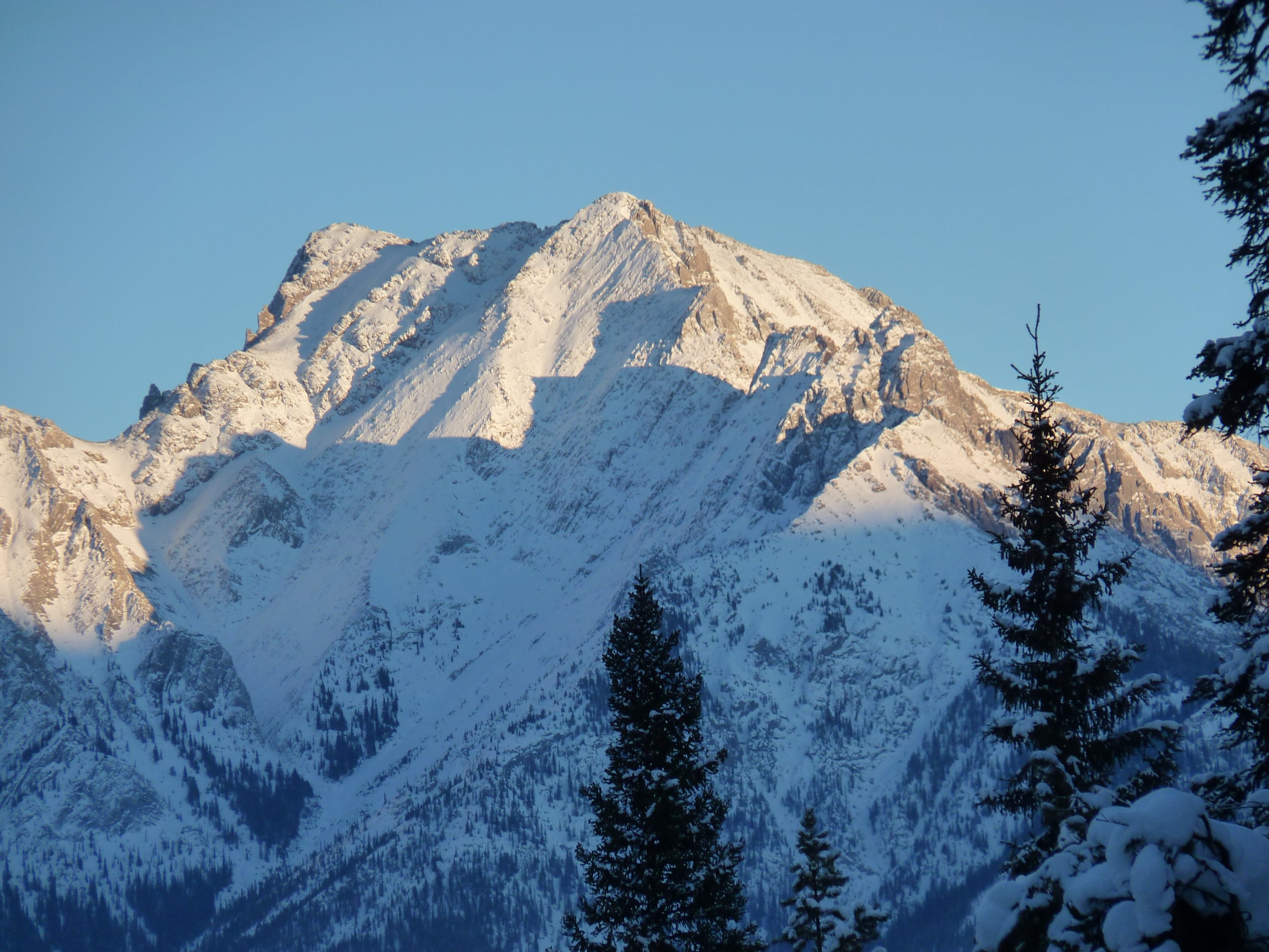
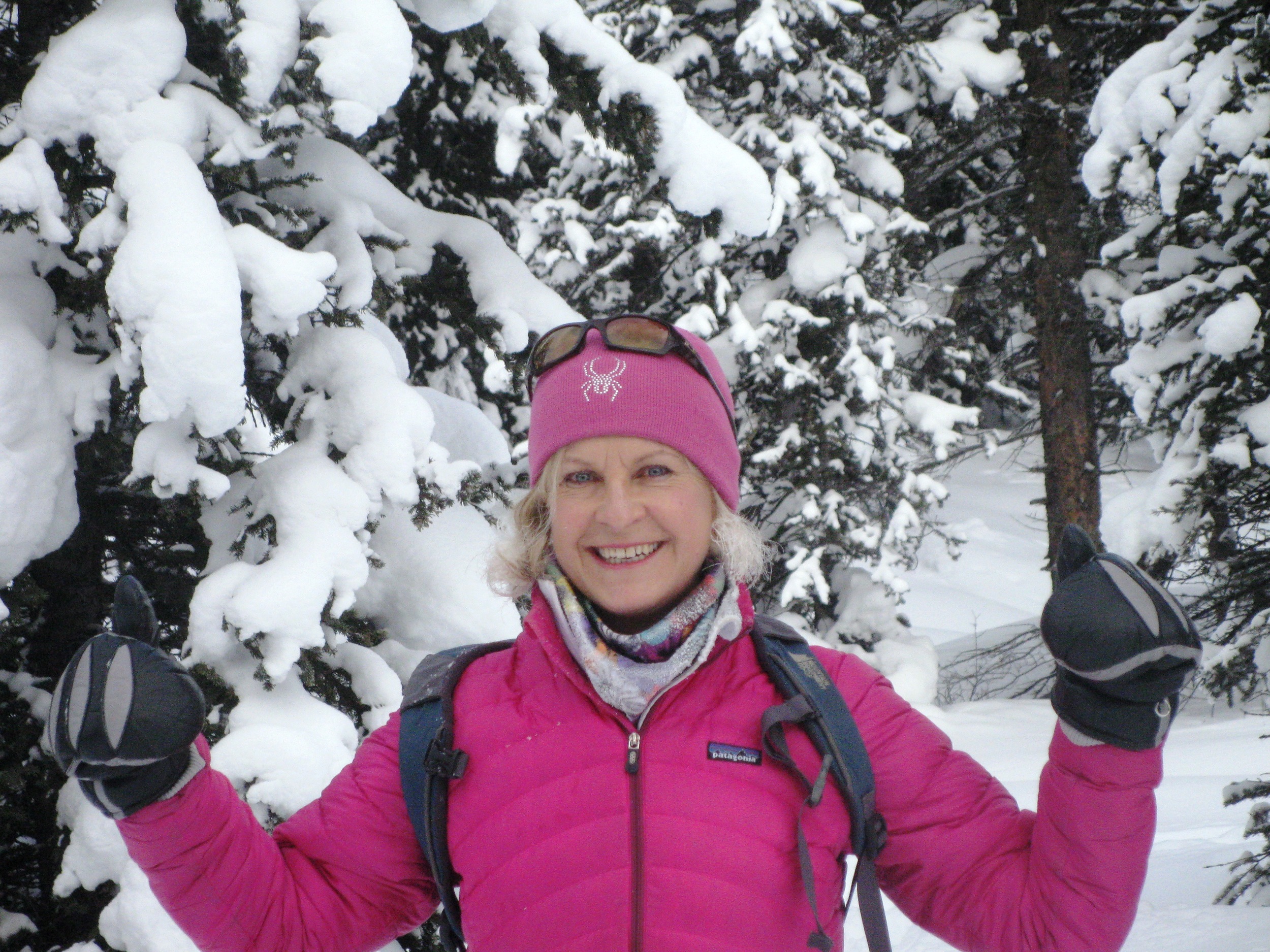
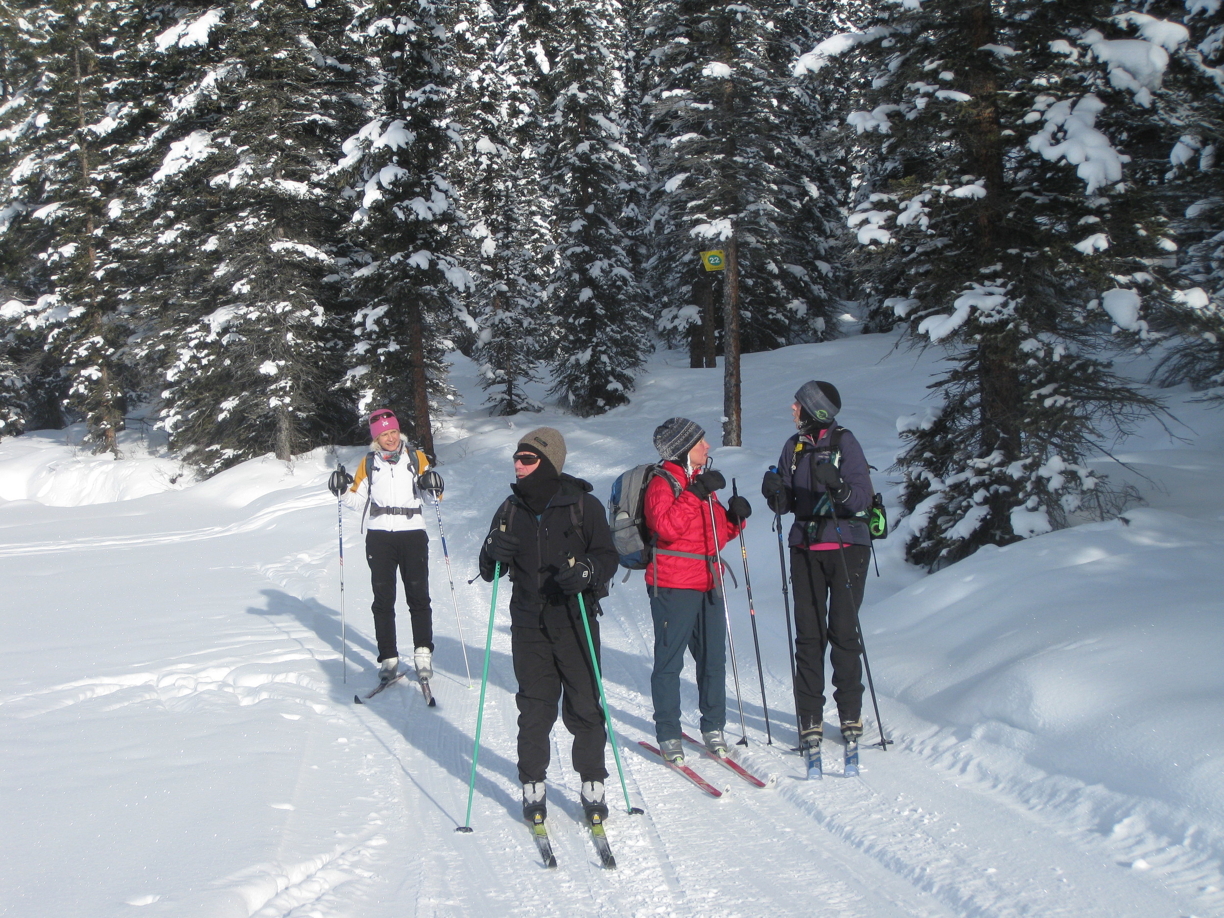
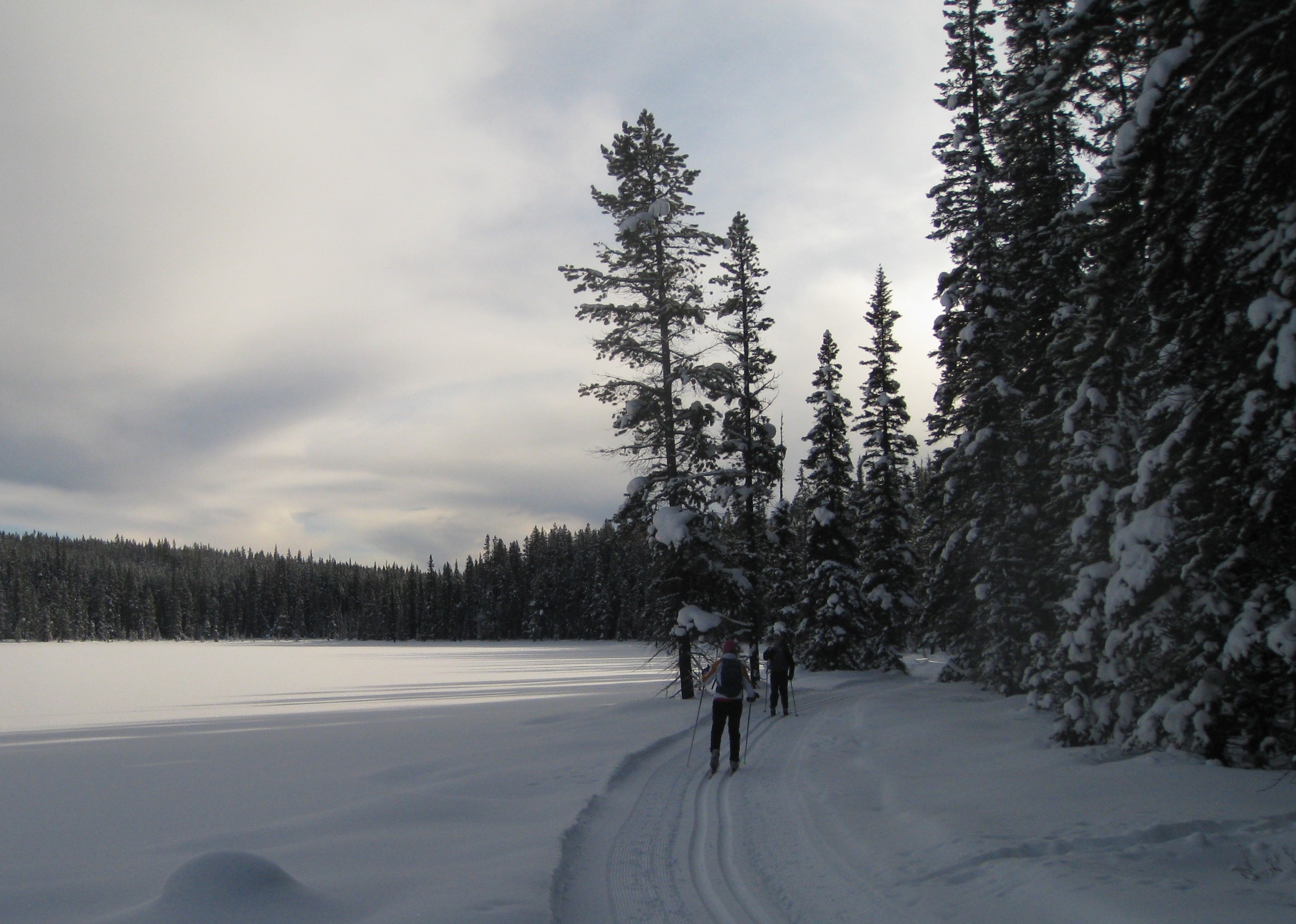
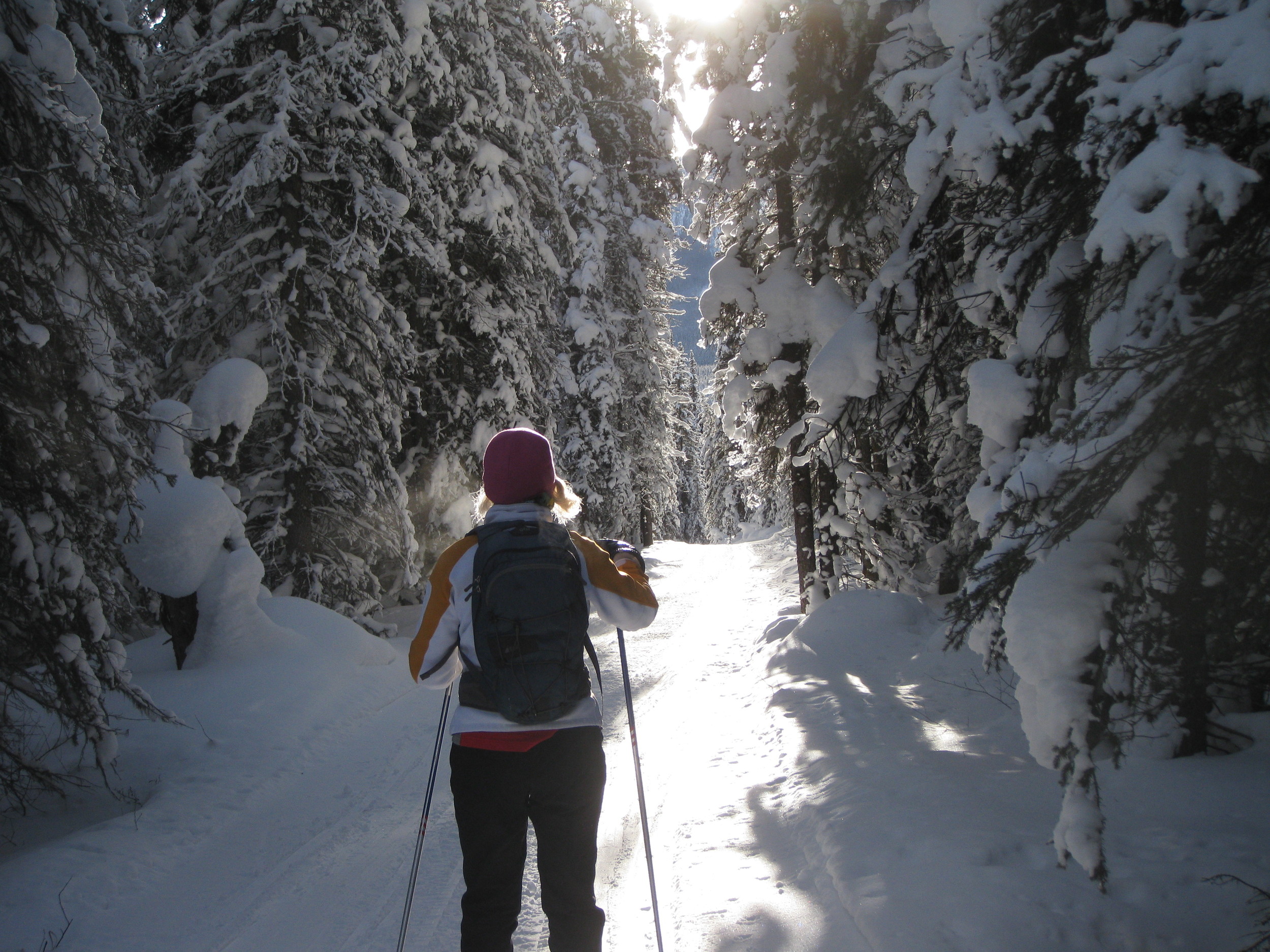
Everybody in the group is experienced, and solid. Fortunately, we did not have to break trail, as there had been a party who did that work for us the previous day(?). That said, the track has some very steep switchbacks, requiring tricky kick turns, and contact of the climbing skins on the snow. Up higher, we found some sunshine, which is tough to encounter on these north slopes that are below huge headwalls. Lunch was in order! Soon after, we were looking down a very steep slope on the other side of the first col (Purple Knob). It's steep enough that it rolls out of sight, and all you see is the valley below.

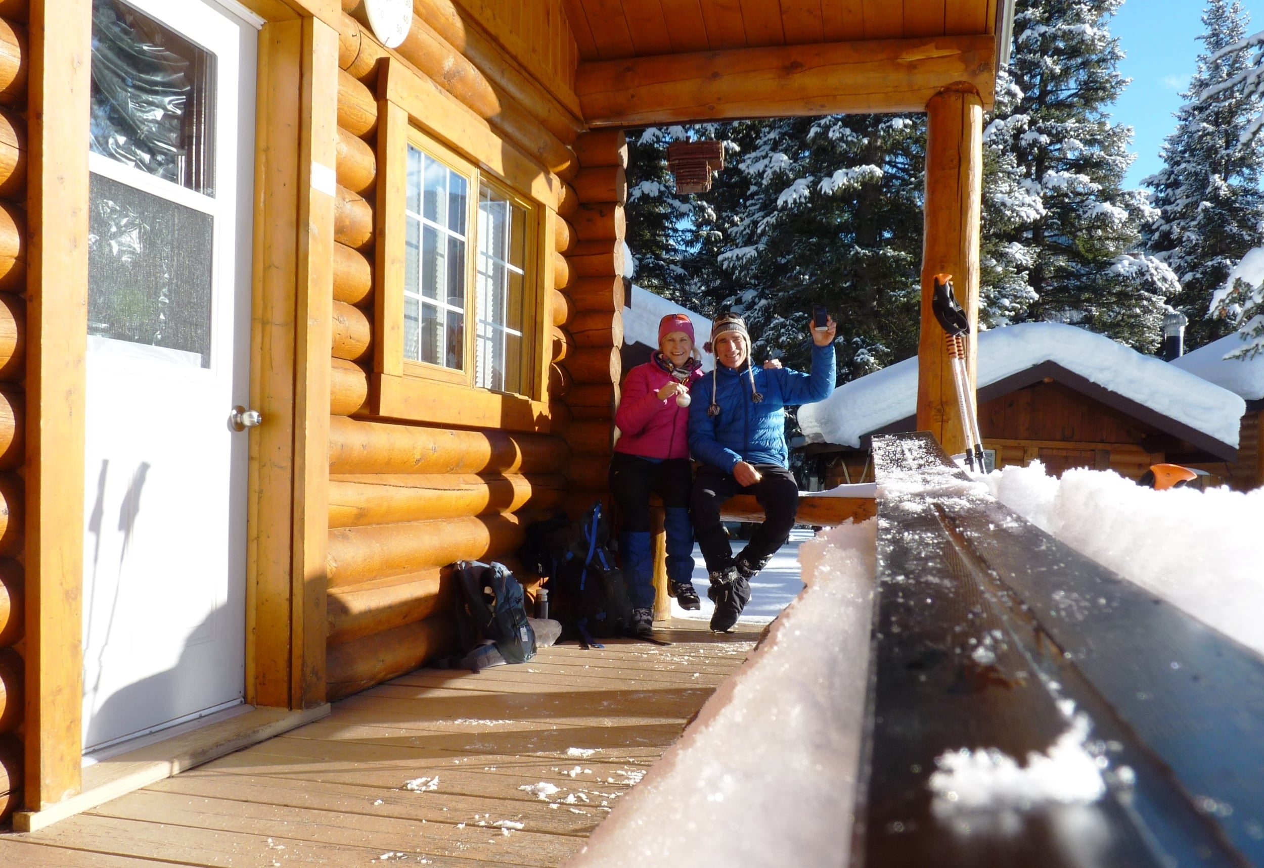
Everybody skied the slope without incidence - it wasn't Hero snow! But we weren't worried about avalanches either. We dropped down about 1000 feet to the cirque below, and found an up-track to the next col. Climbing skins back on! Within an hour, we were on the second col (Hero's Knob) - climbing skins off! Again, a very steep descent - this time for a couple of thousand feet to the valley below. At this point, you follow a tricky route along a creek that is still managing to stay open in places. Very bad to fall in! At last, we reach the main valley creek where we have a narrow snow bridge that we built back in November. Everybody makes it back safely! Another great day in the Canadian Rockies!

For a short slide show:


Shadow Lake xc ski

It was -17C in the shade in this part of Banff NP, where we would be for much of the day. But a full-on bluebird sky! We were using our metal-edged cross-country skis for the 14km uphill journey - mainly for control on the way down. Waxing is easy: blue.

The first couple of kms are a bit arduous as you climb up a relatively steep crusty tracked old road - away from the noisy highway. The road had not been trackset for quite a long time. Once into the Red Earth Creek hanging valley, the new snow was deeper, and it gets quite magical. Especially when you start catching a few views of the south-facing alpine slopes of Mt Pilot, and the lit-up southeast avalanche slopes of Copper Mtn.

Before too long, we passed by the Red Earth (RE6?) campground, and started climbing above the creek again. Finally we were getting some rays of sunshine! At that point, it was -18C, but we were keeping pretty warm. Upon reaching the intersection for Shadow Lake, the new show we were breaking through was about 5-6cm deep. From experience we knew it was easier to carry skis, and kickstep up the steep trail to where it flattens out again. The trail had been used sometime ago, and was pretty supportive beneath the new snow. Before too long, we started breaking out into beautiful sunlit meadows, and finally at the Shadow Lake lodges, which were still closed for the season.

The lodges were put where they are for a reason. They are nicely backed into trees on the edge of a huge meadow that flanks the lake, with southwest facing decks, and tremendous views of the glacier-capped Mt Ball (10,807 ft).

After finishing the tea, and some tawny port*, we reluctantly tore ourselves away from the warm sunshine at 3PM, and descended back to the car. It took about half as long to get back, for a total round trip of 6 hours. On the way back, the last bits of sun were highlighting the peak of Mt Cory across the Bow Valley, that we climbed last summer.

*This was a celebration of our getting engaged at Shadow Lake 4 years ago.